in the county of County Durham
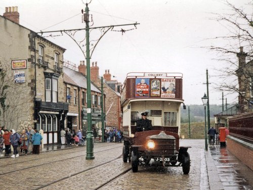
(7.9 miles, 12.7 km, direction E)Beamish is famous for its lovely open-air museum which so vividly brings to life how the folk of the region lived at the turn of the 20th century...
a Picturesque Village in the county of Northumberland
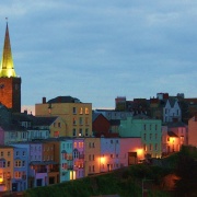
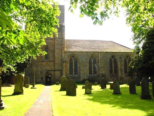
(8.2 miles, 13.2 km, direction W)Blanchland is a small picturesque village nestled beside the river in the Derwent Valley within the North Pennines Area Of Outstanding Natural Beauty. It is surrounded by.....
a Historic Market Town in the county of County Durham
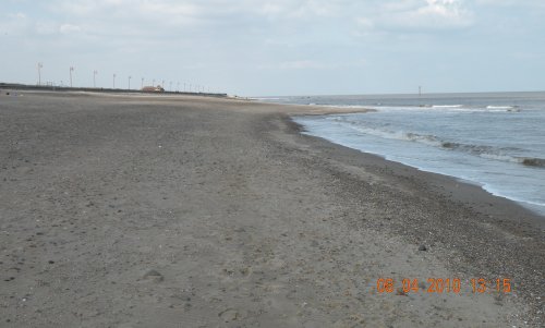
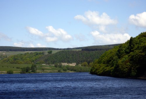
(9.4 miles, 15.1 km, direction S)This is a lovely village lying on the edge of the North Pennines in an area of great scenic beauty. It is a wild and beautiful landscape dotted only by scattered farms with meadows full of grazing sheep and cattle...
a Picturesque Village in the county of Northumberland
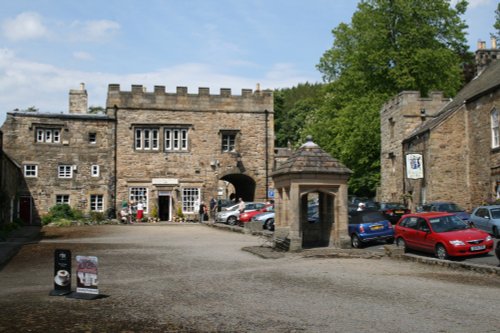
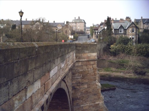
(10.3 miles, 16.5 km, direction NW)Located in Northumberland, Corbridge is a historic market town with Roman connections. It features charming streets, historic buildings, and the Corbridge Roman Town archaeological site...
a Historic City in the county of Tyne & Wear
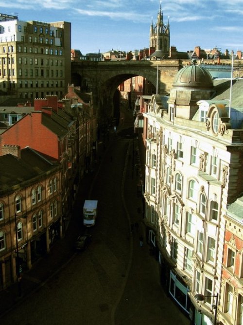
(11.8 miles, 19.0 km, direction NE)This important City was known as Pons Aelii in Roman times; the Romans built the first bridge over the River Tyne, it was guarded by a Roman fort which was replaced by a castle.....
All towns in County Durham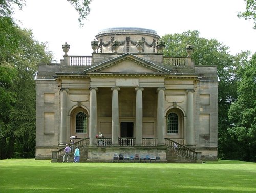
Gibside is famous for the sedate historic estate set at the heart of the outstandingly beautiful Derwent Valley. The estate was.....
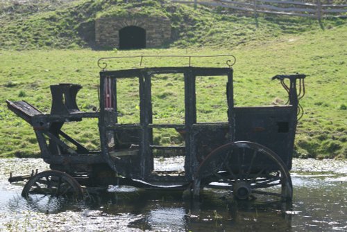
Beamish Museum lies in a basin of stunning countryside covering over three hundred acres. This is no ordinary museum, but an.....
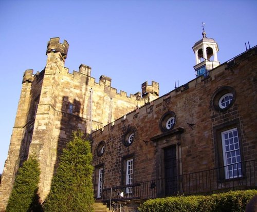
Blanchland Abbey was founded as a priory in 1165 by Walter de Bolbec II, and became an abbey in the late 13th century. The.....

Britain's largest sculpture, The Angel of the North weighs in at 208 tonnes and stands 20 metres high. It was based on artist.....
..
Enjoy this site?
Please help us stay online by making a donation today - thank you for your kind support.

Follow PicturesOfEngland.com on social media and help share the beauty of England....