a Picturesque Village in the county of Cumbria
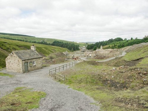
(4.7 miles, 7.6 km, direction NW)Nestling beside the sparkling River Nent, Nenthead lies on Alston Moor, in a lonely remote North Pennine Area of Outstanding Natural Beauty, between the pleasant market town of Alston and the Killhope lead mining museum...
in the county of County Durham
(6.0 miles, 9.7 km, direction S)It's landscape, possessed of a wild untamed beauty, highlighted by the meandering River Tees, has a few ancient farmhouses and old stone cottages...
a Historic Market Town in the county of Cumbria
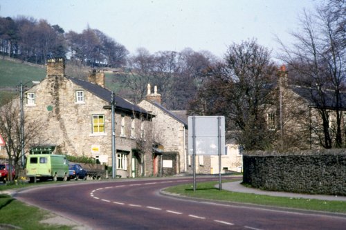
(8.9 miles, 14.3 km, direction NW)At a height of over 1,000 feet in the far reaches of the Pennines, this is one of England's highest market towns. Alston is a lively bustling place of steeply rising narrow.....
a Picturesque Village in the county of Northumberland
(10.5 miles, 16.9 km, direction N)This picturesque Northumberland village enjoys a lovely location in the fine hill and dale countryside of the beautiful East Allen Valley...
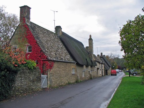
a Picturesque Village in the county of Northumberland
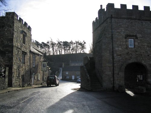
(10.9 miles, 17.5 km, direction NE)Blanchland is a small picturesque village nestled beside the river in the Derwent Valley within the North Pennines Area Of Outstanding Natural Beauty. It is surrounded by.....
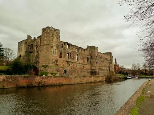
All towns in County Durham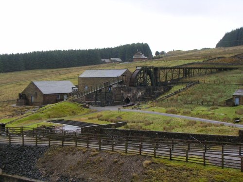
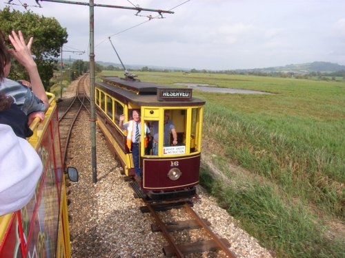
Killhope Lead Mining Museum keeps alive the counties lead mining traditions. This is a fully restored site of a working mine.....
This lovely scenic valley lies between the town of Bishop Auckland, seat of princes of the church and the charming market town of.....
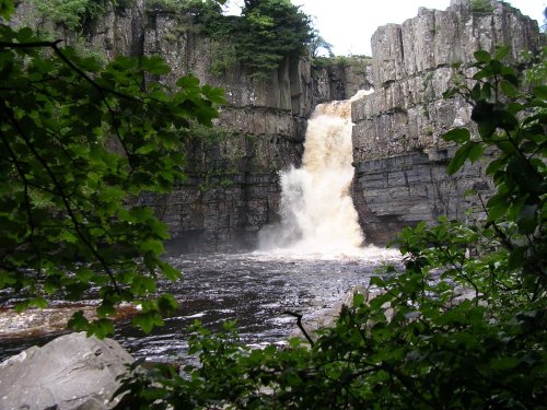
This is the Tees most spectacular offering, it is also England's highest waterfall. The best time to see High Force is just.....
Blanchland Abbey was founded as a priory in 1165 by Walter de Bolbec II, and became an abbey in the late 13th century. The.....
Hampsterley Forest encompasses over five thousand acres, it is a combination of parkland and forest, giving access to some of the.....
Enjoy this site?
Please help us stay online by making a donation today - thank you for your kind support.

Follow PicturesOfEngland.com on social media and help share the beauty of England....