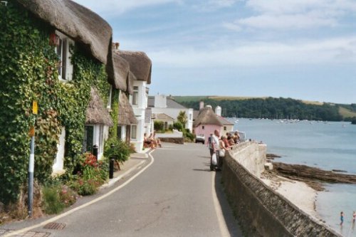
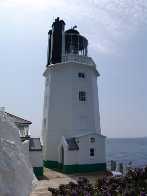
St. Mawes is the stuff picture postcards are made of, the sunlight reflecting on the frothy ocean waves, the warm sea breezes, dreamy thatched cottages overlooking the bay...
Think of Falmouth and you immediately think of the sparkling sea in a bay alive with busy colourful pleasure and sailing boats all jostling along in bright sunshine. You think.....

"One of the least spoiled and most impressive of Cornish fishing villages" - Sir John Betjeman (famous poet 1906-1984)..
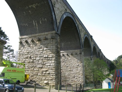
Truro, today is Cornwall's unofficial capital and adminstrative centre but in the Middle Ages Truro was one of the towns which controlled Cornwall's flourishing tin mining industry...
One of a ribbon of picturesque fishing villages dotting the fabled Cornish coastline. Mevagissey has ancient buildings flanking steep and extremely narrow streets which during.....
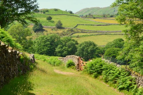
One of the world's largest natural harbours...
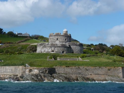
Built by Henry VIII between 1540-45 due to the threat of invasion from Catholic France and Spain. Built as one of a pair, their.....
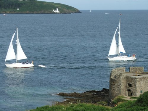
Built at the side of a naturally deep harbour Pendennis Castle forms one of Henry VIII's coastal defences, built to guard against.....
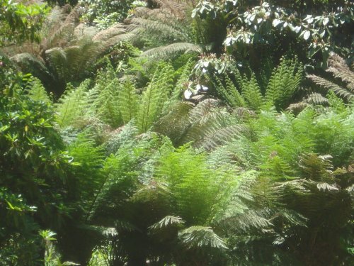
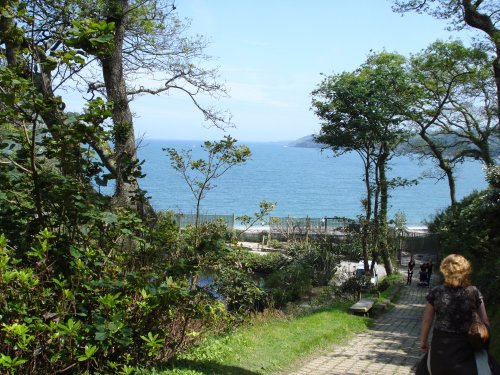
Trebah Garden occupys one of Cornwall's most dramatic landscapes, set into a beautiful wooded ravine descending towards a private.....
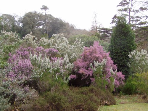
These beautiful gardens are set on a rising landscape at the side of the Helford River. The gardens, mainly full of exotic trees.....
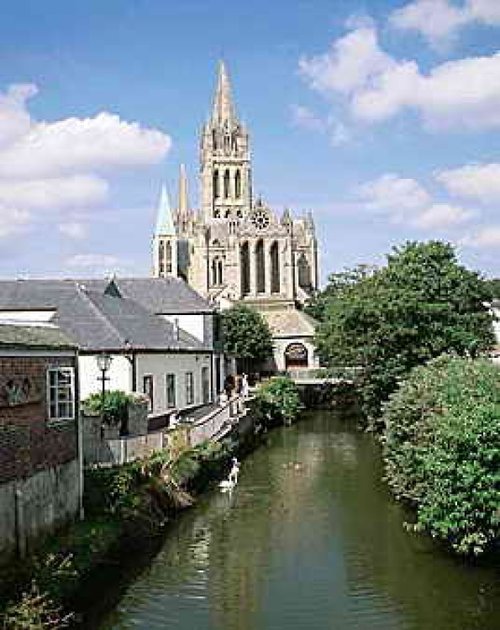
A former 16th-century parish church once stood on the site of this sumptuous cathedral, which was designed by John Loughborough.....
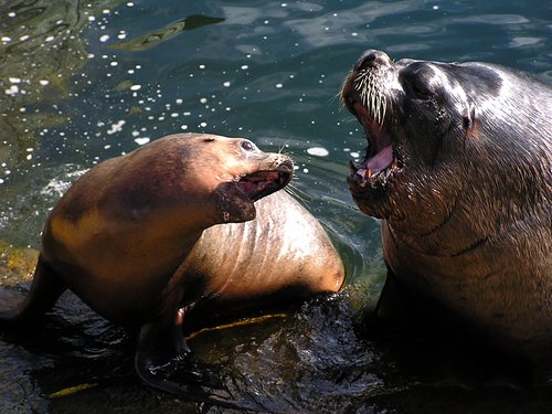
The Seal Sanctuary was set up in 1958 in the small village of St Agnes, in 1974 we moved to Gweek after we needed more space for.....
Follow PicturesOfEngland.com on social media and help share the beauty of England....