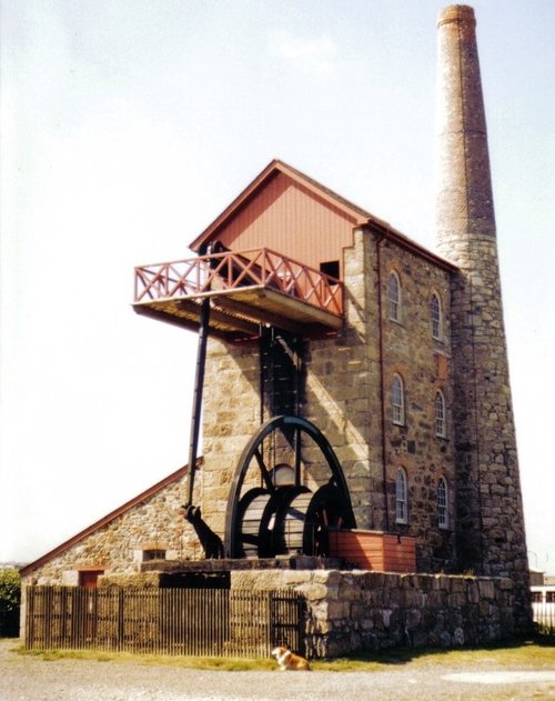
Three miles of golden sands backed by impressive sand dunes have made Hayle a perfect summer place for families to enjoy a holiday. It is an old town, made prosperous in the 18th-century when John Harvey opened his tin, copper and foundry business..

There is a magical quality surrounding the whole of the Cornish coast of which St.Ives is a small but special part...

Portreath lies on Cornwall's magnificent North-western coast, it occupies a picture-postcard valley setting of woods, streams and fine rural meadow-land, with its crowning glory being the beach lying beneath rugged cliffs topped with springy turf and heathers...
The picturesque village of Marazion with its quaint cottages, shops and pubs, is in a sublime position on the west Cornwall peninsula..
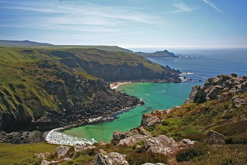
This hauntingly beautiful village stands starkly above cliifs that in parts are over 300ft above the sea...

This hauntingly beautiful spot was initially made famous by centuries of shipwreck caused by perilous rocks scattered around its.....
This museum set on lonely cliffs far above the swirling Atlantic Ocean is where visitors to the area can learn all about.....
..
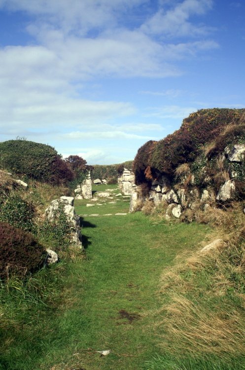
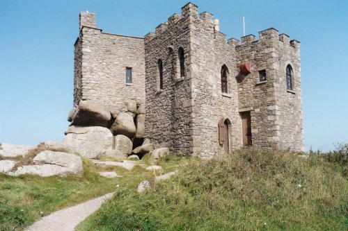
This is a classic prehistoric site, quite possibly a Celtic settlement occupied almost two thousand years ago. In its wild.....
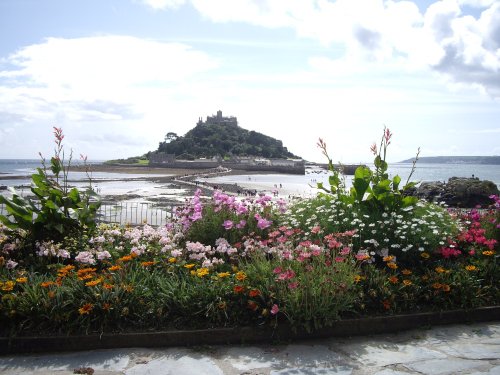
The priory on St.Michael's mount is dedicated to the Archangel who is believed to have appeared to local fishermen in AD 495. The.....
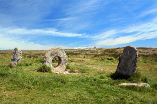
The Men-an-Tol is a massive round holed stone standing between two uprights. It quite probably dates from the Bronze-Age and may.....
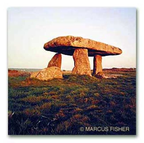
In this moorland area thick with pre-historic remains, this is the most accessible and without doubt the most famous of all the.....
Follow PicturesOfEngland.com on social media and help share the beauty of England....