If you would like to add a description of Scaling, please use our Scaling forum here. To upload your Scaling photography and create your very own 'Pictures of England Gallery', click here or here to join the site and become part of the Pictures of England community, or simply see below for nearby recommended towns, attractions, and Scaling accommodation.
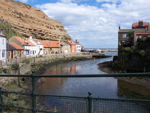
A charming fishing village on the North Yorkshire coast, Staithes is known for its narrow winding streets, historic cottages, and stunning sea views. It's an ideal destination for a peaceful seaside retreat...

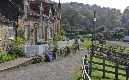
Runswick Bay lies at the edge of the North Yorkshire Moors National Park, the village is tucked between rising cliffs at the western end of a lovely sweep of sand...
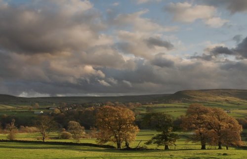
Nestling in the heart of the North Yorkshire Moors National Park, Westerdale affords the visitor wonderful views over the surrounding dales...

A lovely winding road drops down from the valley above to this small seaside resort and fishing haven...
A wildly beautiful rugged coastal area with over two and a half miles of uninterrupted golden sand which in high summer is idyllic for holiday makers, and attractive to surfers...
..
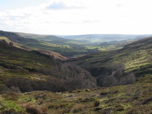
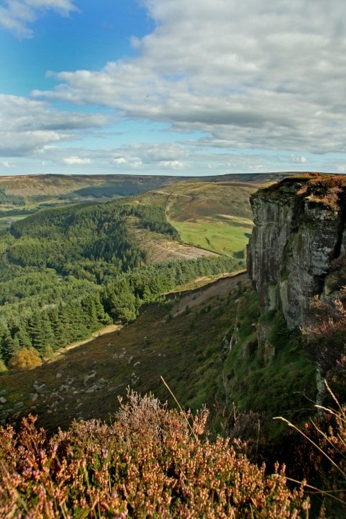
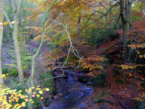
Historically this breathtakingly beautiful moors area was an industrial centre for ironstone mining during the 19th and early.....
Many will tell you they have never seen the Yorkshire Moors, yet often you can catch a glimpse of this magical area simply by.....
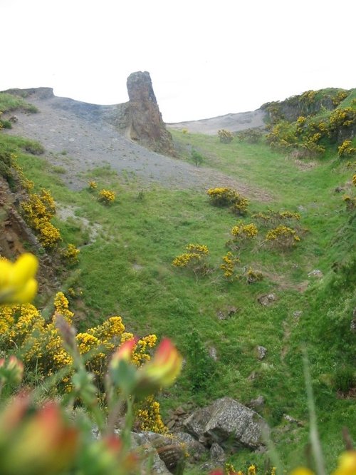
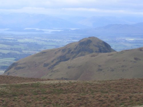
This lofty hillside is known as the Roseberry Topping, but affectionately called the "matterhorn" by locals, it lies on the.....
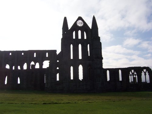
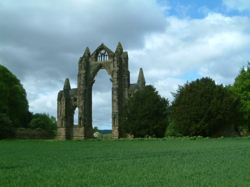
Whitby Abbey was founded in the seventh century on cliffs by the sea. Its remains can still be seen from the sea and are a.....
..
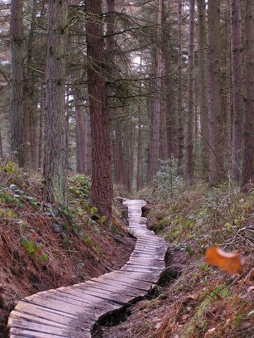
The Dalby Forest lies in the majestic northern uplands at the edge of North Yorkshire Moors National Park. It is mostly a.....
Follow PicturesOfEngland.com on social media and help share the beauty of England....