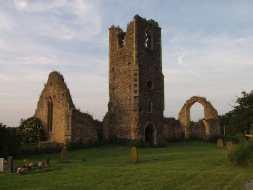
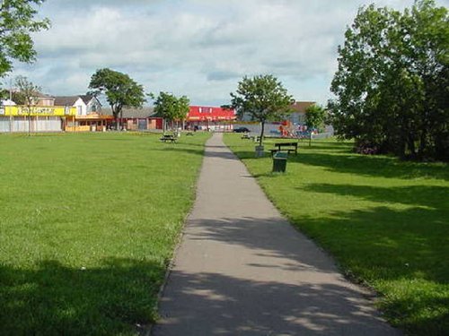
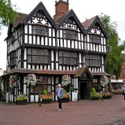
If you would like to add a description of Wilmslow, please use our Wilmslow forum here. To upload your Wilmslow photography and create your very own 'Pictures of England Gallery', click here or here to join the site and become part of the Pictures of England community, or simply see below for nearby recommended towns, attractions, and Wilmslow accommodation.
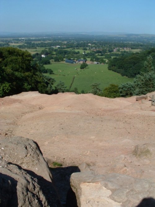
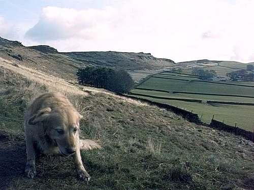
Alderley Edge is a popular tourist spot in the county of Cheshire, consisting of a prominent 'edge' or sandstone ridge which is popular with walkers and offers stunning views. You.....
First developed as a quiet hamlet on the edge of the sweeping Cheshire Plain, where life went quietly on...
Marple has many splendid canal features from the past, these include a flight of 16 locks and a three arched aqueduct which takes the Peak Forest canal over the River Goyt...
An attractive small town in the High Peak district of Derbyshire...
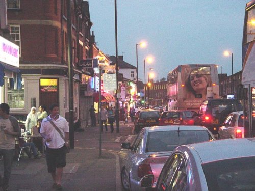
A thriving truly cosmopolitan city with a great mixture of new and old. The capital of the north..

At restored Quarry Mill the air hangs heavy with the atmosphere of the Victorian people of Wilmslow who spent their days toiling.....
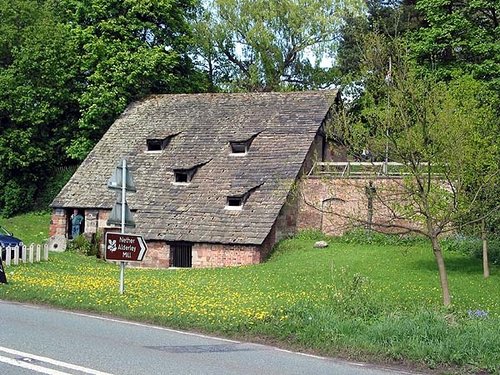
A fascinating and unusual watermill dating from the 15th century..
..
Wythenshawe Park is one of Manchester Leisure's regional parks. The park is set in 109.27 hectares (270 acres) of green area and.....
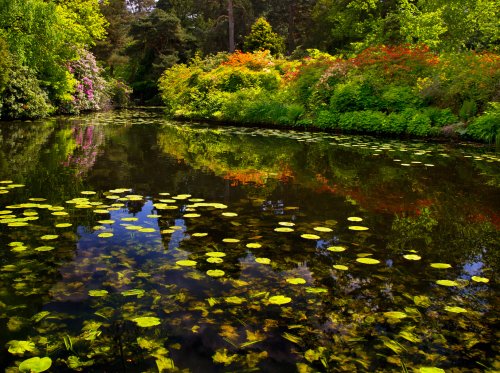
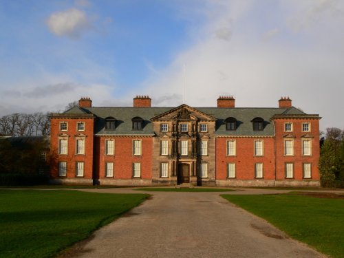
A day at Tatton Park has much to offer, its two historic houses, the Mansion and Tudor Old Hall, are set in 1000 acres of.....
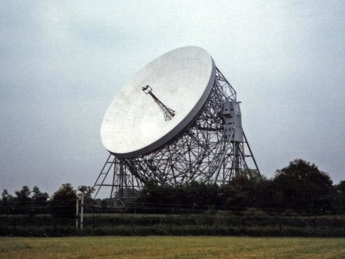
For over 40 years the giant Lovell Telescope at Jodrell Bank has been a familiar feature of the Cheshire landscape and an.....
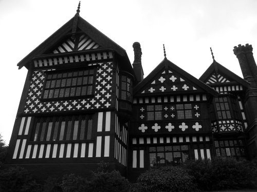
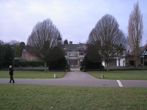
Set amidst the grandeur of the high Peaks amongst softly rolling countryside of undisputed splendour is the magnificent house.....
Enjoy this site?
Please help us stay online by making a donation today - thank you for your kind support.

Follow PicturesOfEngland.com on social media and help share the beauty of England....