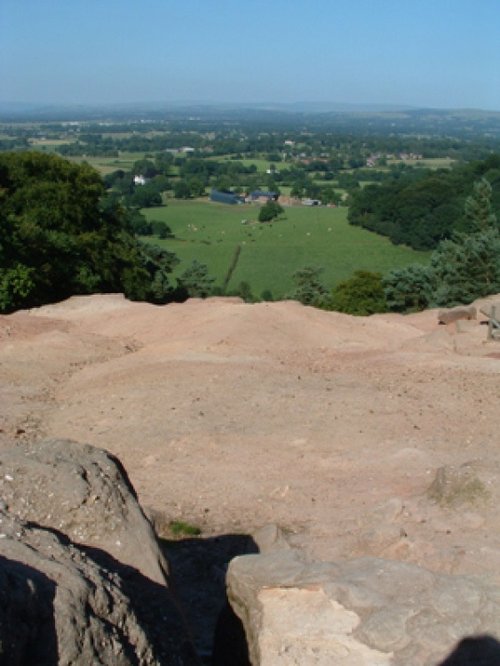
Alderley Edge is a popular tourist spot in the county of Cheshire, consisting of a prominent 'edge' or sandstone ridge which is popular with walkers and offers stunning views. You.....
First developed as a quiet hamlet on the edge of the sweeping Cheshire Plain, where life went quietly on...
Marple has many splendid canal features from the past, these include a flight of 16 locks and a three arched aqueduct which takes the Peak Forest canal over the River Goyt...
An attractive small town in the High Peak district of Derbyshire...
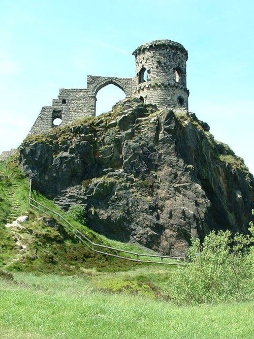
The sheer scale of the height of this village with the quaint sounding name has made it famous, for it is believed that on a clear day the hill is visible to no less than five counties...
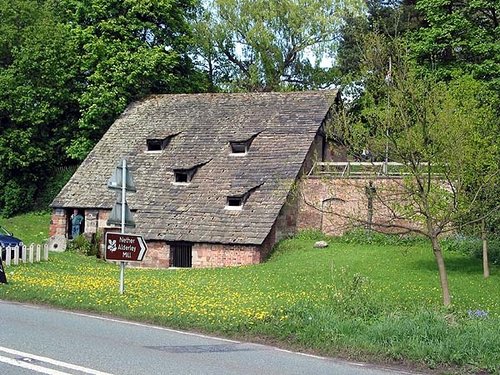
A fascinating and unusual watermill dating from the 15th century..

At restored Quarry Mill the air hangs heavy with the atmosphere of the Victorian people of Wilmslow who spent their days toiling.....
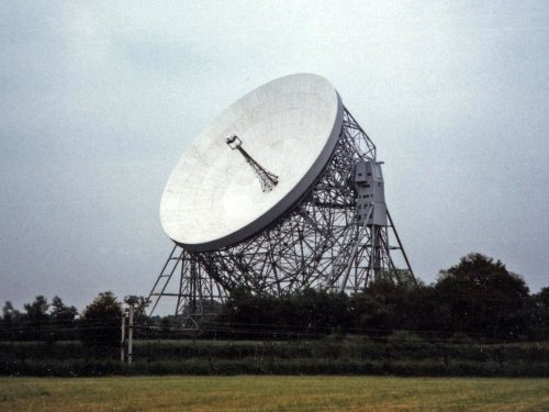
For over 40 years the giant Lovell Telescope at Jodrell Bank has been a familiar feature of the Cheshire landscape and an.....

Tegg's Nose Country Park comprises mainly of wild untamed countryside high above Macclesfield. It offers nature lovers many.....
..
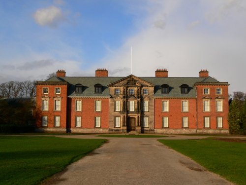
A day at Tatton Park has much to offer, its two historic houses, the Mansion and Tudor Old Hall, are set in 1000 acres of.....
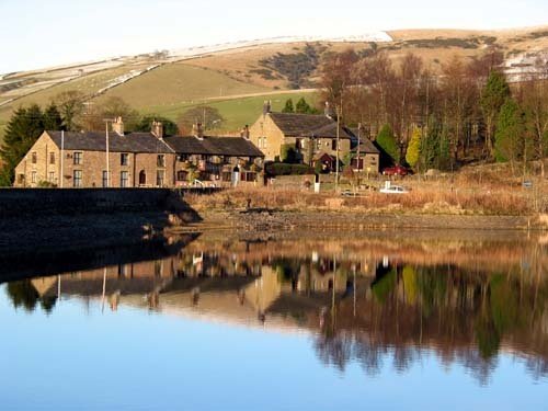
Dating form the 18th Century and standing in beautiful surroundings, on the edge of Macclesfield Forest Reservoir, this stone.....
Enjoy this site?
Please help us stay online by making a donation today - thank you for your kind support.

Follow PicturesOfEngland.com on social media and help share the beauty of England....