Please login or click here to join.
Forgot Password? Click Here to reset pasword
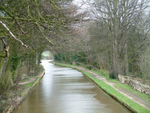
If you would like to add a description of Higher Shurlach, please use our Higher Shurlach forum here. To upload your Higher Shurlach photography and create your very own 'Pictures of England Gallery', click here or here to join the site and become part of the Pictures of England community, or simply see below for nearby recommended towns, attractions, and Higher Shurlach accommodation.
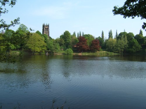
The picturesque village of Lymm is situated in the the county of Cheshire, England, and was mentioned in the Doomsday book of 1086. It's name is of Celtic origins and means "Place.....

Attractive large village which developed as a coaching stop on the main London to Liverpool road during the 17th and 18th-centuries...
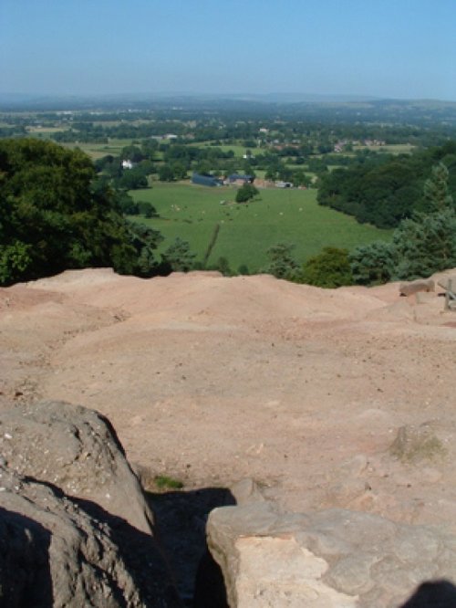
Alderley Edge is a popular tourist spot in the county of Cheshire, consisting of a prominent 'edge' or sandstone ridge which is popular with walkers and offers stunning views. You.....
First developed as a quiet hamlet on the edge of the sweeping Cheshire Plain, where life went quietly on...
Today, Nantwich is a busy bustling place of business and commerce that still manages to retain its unique 'Elizabethan' flavour...

The Anderton Boat Lift is the world's first boat lift, and the only working one in the UK..
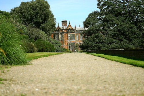
Once part of a large country estate, Marbury Parks history dates back to AD 1200. Guided walks are on offer all year round, with.....
..
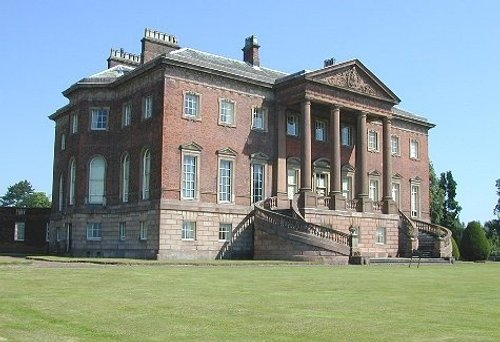
Arley Hall featured recently in the BBC's religious programme Songs of Praise. It's illustrious owner, Lord Ashbrook was seen.....
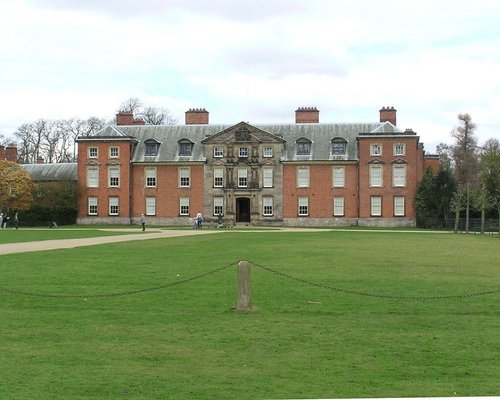
A day at Tatton Park has much to offer, its two historic houses, the Mansion and Tudor Old Hall, are set in 1000 acres of.....
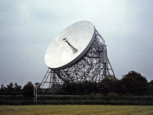
For over 40 years the giant Lovell Telescope at Jodrell Bank has been a familiar feature of the Cheshire landscape and an.....

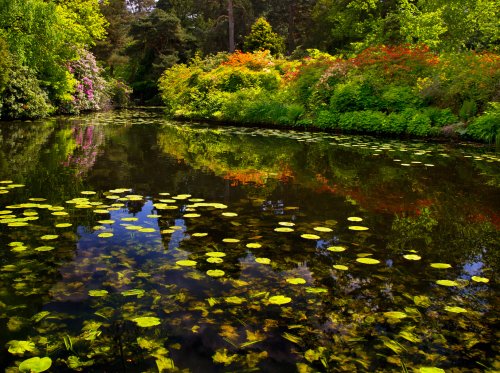
Green lungs do not come more beautiful than the densely tree populated Delamere Forest Park found in a haven of countryside, near.....
Follow PicturesOfEngland.com on social media and help share the beauty of England....
