Please login or click here to join.
Forgot Password? Click Here to reset pasword
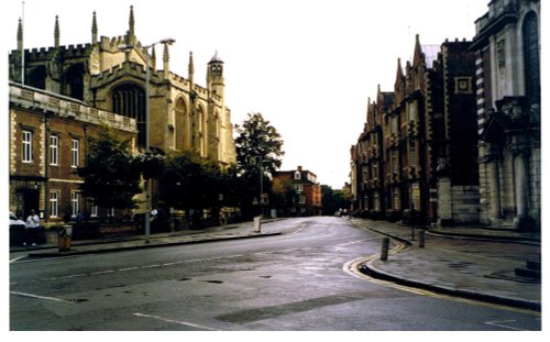
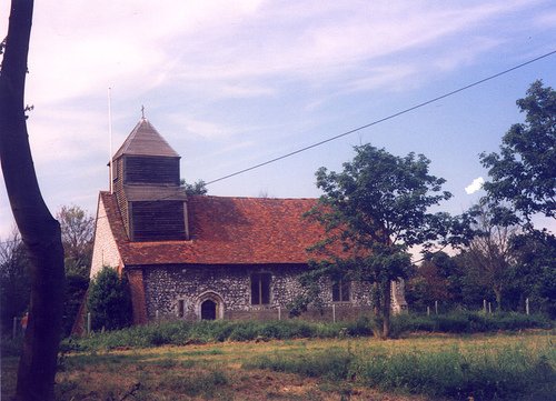
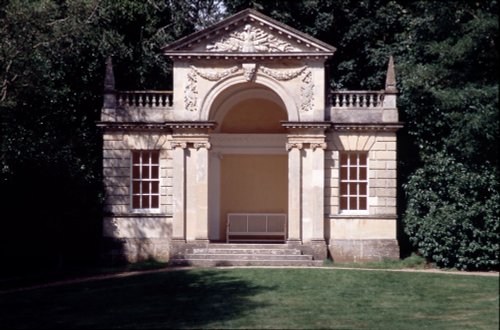
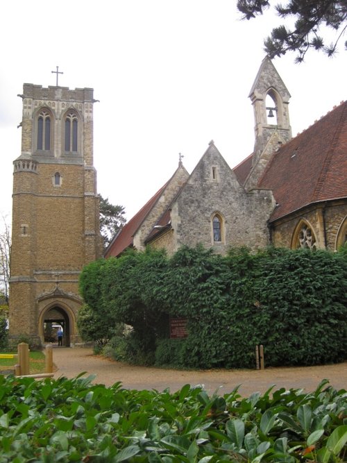
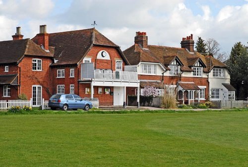
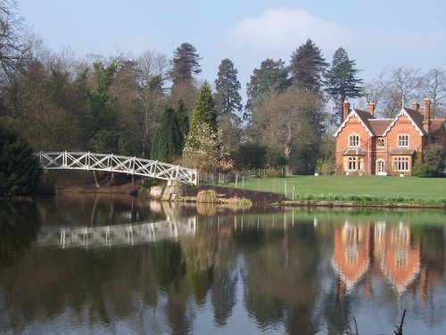
If you would like to add a description of Cheapside, please use our Cheapside forum here. To upload your Cheapside photography and create your very own 'Pictures of England Gallery', click here or here to join the site and become part of the Pictures of England community, or simply see below for nearby recommended towns, attractions, and Cheapside accommodation.

..
..
..

..
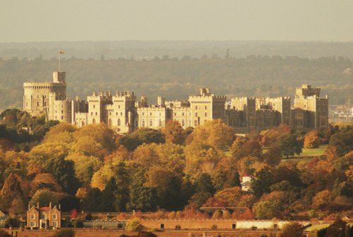
Windsor, or rather Royal Windsor, is a seductive mix of history and romance with a unique atmosphere. It is a place where the sense of history is never far away, it is a town.....
Situated just over the river Thames from Windsor, Eton is best known for its world famous ancient public school, which was attended by both Prince Harry and William, and many.....

..
..
..
..
Bray is a pretty place lying on a bend of the Thames a short distance from Monkey Island where there was once a fishing lodge belonging to the Dukes of Marlborough...
..

..
..

..

In the 17th-century the old part of Woking was a thriving market town with a lively population...
..
..
Taplow itself is a joy to walk around there are many old interesting properties including handsome Georgian buildings...
Currently this town is best known for its Royal Military Academy, training ground for those hoping to attain high office in the British Military Service. Some famous service men.....

The charming village of Shepperton was once the haunt of legendary highwayman Dick Turpin who is said to have visited the village's 400 year hostelry - the atmospheric Anchor Hotel overlooking Church Square...
..

..
Littlewick Green lies south-west of Maidenhead, it is perhaps best known for its fine Cricket Club where the game of cricket has been played for over two hundred years...
..
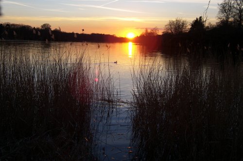
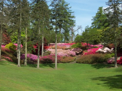
Originally little more than a stream, Virginia Water Lake was begun in 1746 by William, Duke of Cumberland who was then Ranger of.....
..
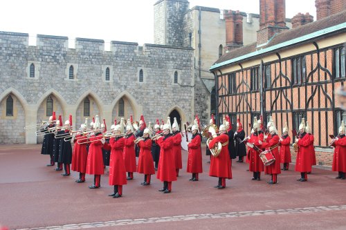
Apart from being the largest inhabited castle in the world, Windsor is arguably the best known, and on any visit to the town, it.....
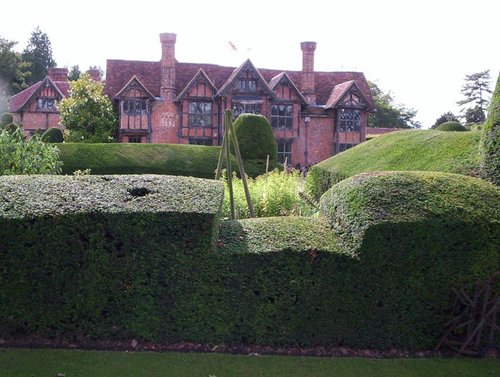
Dorney Court is unusual in that it has passed by direct descent, father to son, through 13 generations of the Palmer family in.....
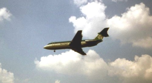
This is a thrilling museum, where now that Concorde is retired, visitors can get the full Concorde experience without a costly.....
An insight into the past, present and future of Heathrow airport. For all age groups..
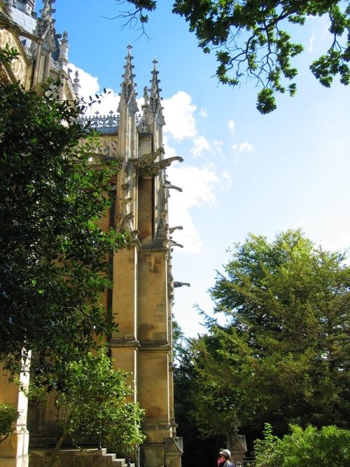
ST. Michael's Abbey is a beautiful Abbey Church built in the peace and tranquillity of the English countryside by the French.....
Follow PicturesOfEngland.com on social media and help share the beauty of England....