Maulden Wood is an attractive mix of semi-natural broadleaf woodland, acidic grassland and conifer plantations. A waymarked walk leads visitors from the lay by on a tour through the wood.
The grasslands in the centre of the wood are managed by the Greensands Trust in partnership with the Forestry Commission, and are designated as Sites of Special Scientific Interest (SSSI) for the acidic grassland and heathland interest. The northern end of the wood is also an SSSI because of its importance as one of Bedfordshire's largest remnants of ancient woodland. - www.forestry.gov.uk
a Historic Market Town in the county of Bedfordshire
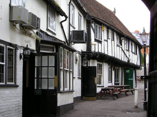
(3.6 miles, 5.8 km, direction W)The lovely town of Ampthill lies sheltered by hills in the sandstone belt of Bedfordshire...
a Picturesque Village in the county of Bedfordshire
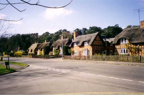
(3.9 miles, 6.2 km, direction NE)Old Warden is a sleepy Bedfordshire village with pretty honey-coloured thatched cottages and a wealth of other interesting buildings...
a Historic Market Town in the county of Bedfordshire
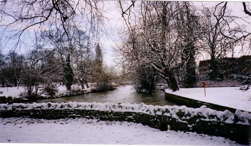
(6.5 miles, 10.4 km, direction N)Bedford is the historic County town of Bedfordshire with a beautiful riverside setting on the great River Ouse. John Bunyan, author of Pilgrim's has strong associations with this town...
a Historic Market Town in the county of Hertfordshire
(8.7 miles, 14.0 km, direction SE)Hitchin is a historic market town in Hertfordshire, characterized by its medieval and Georgian architecture. It has a vibrant market square, a variety of pubs, and the picturesque Hitchin Lavender fields in the surrounding countryside...
in the county of Bedfordshire
(9.7 miles, 15.5 km, direction SW)The picturesque village of Woburn has an mixture of delightful old cottages and the magnificent Woburn Abbey...
All towns in Bedfordshire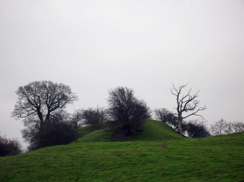
The remains of a late 11th or early 12th century motte and bailey castle with three baileys. Cainhoe castle was probably occupied.....
Rowney Warren is a lively woodland managed jointly by the Southill Estate and the Forestry Commission. The wood is predominantly.....
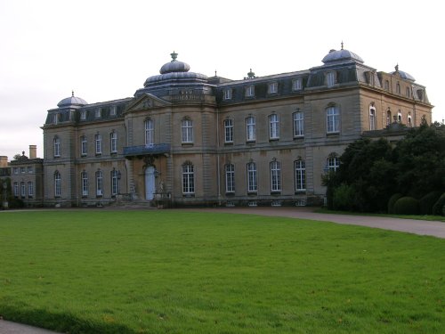
Wrest Park House was once the home of the de Grey family whose Mausoleum is at nearby Flitton. The gardens form a charming.....
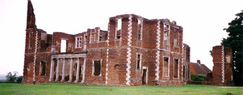
Houghton House is a 3 story stately home built by Lady Pembroke in 1621. Houghton is reputedly the model for "House Beautiful" in.....
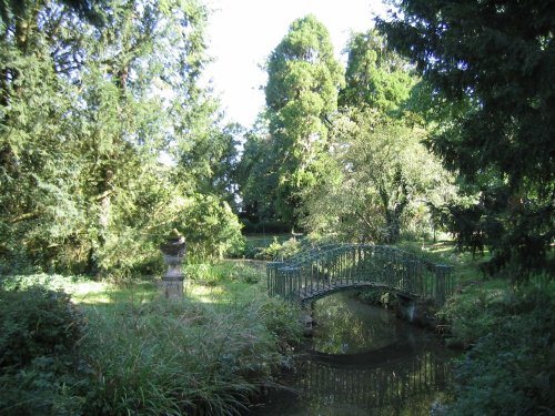
These glorious gardens, laid out in the early part of the 19th century, fully embrace the romanticism of the era. The fashion at.....
Follow PicturesOfEngland.com on social media and help share the beauty of England....