Please login or click here to join.
Forgot Password? Click Here to reset pasword
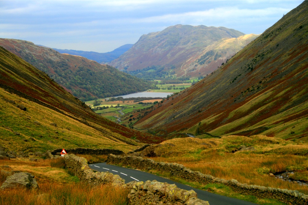
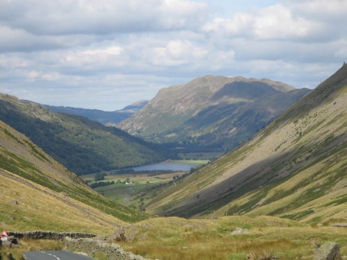
 The Kirkstone Pass Inn is the third-highest Inn in England.


A village that is spread along an old valley road for around one and a half miles. Lots of charm and old cottages, surrounded by beautiful lakeland countryside. Beatrix Potter.....

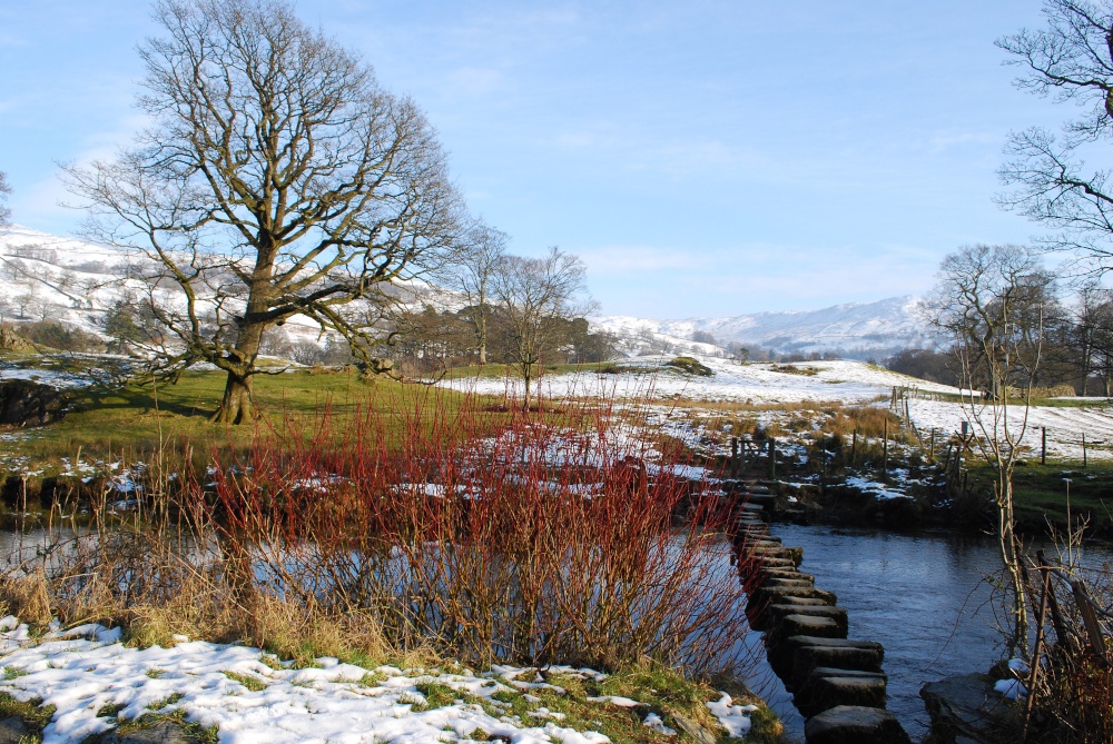
This tiny stone village is beautifully set between the tranquil waters of Grasmere Lake and the jagged heights of Helm Crag and Nab Scar..
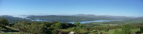
Lake Windermere is England's largest lake, and one of it's most popular with visitors. It is 10.5 miles long and approx 1 mile wide. The water of the lake reaches a depth of.....

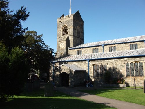
The pretty village of Hawkshead is full of old-world picturesque charm throughout its traffic-free streets where one can roam freely to investigate all it has to offer in the way.....
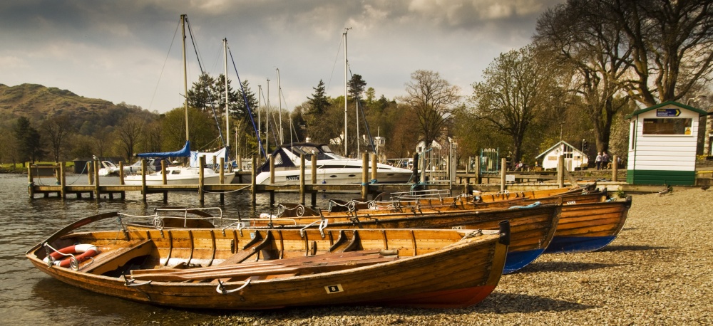
This is the principal resort on Lake Windermere, it is a town crammed with quaint narrow streets jammed full of summer tourists which sprawls along the shores of the lake somewhere between Waterhead and Lakeside...
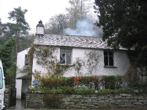
Dove cottage in the Lake District is the former home of the poet William Wordsworth and is where he wrote much of his famous.....
This exceptional magical landscape is known as Beatrix Potter Country. For it is here amongst Lakeland's magnificent tarns and.....
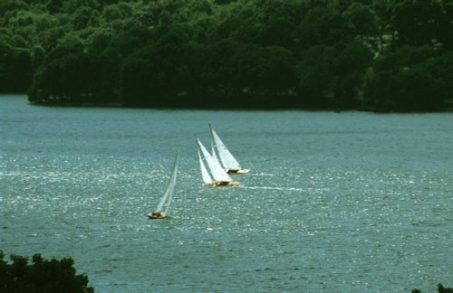
This is the Lake District National Park's most dazzling resort as well as being England's largest natural lake. It is surrounded.....
Dorothy Wordsworth (c.1771-1855, diarist, poet, sister of William ) referred to it as "..the glittering lively lake..". The.....
I first saw the Lake District many years ago, when for eight out of my eleven day sojourn, it rained, and rained! None-the-less,.....
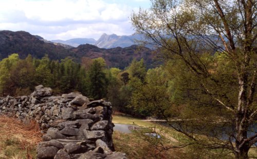
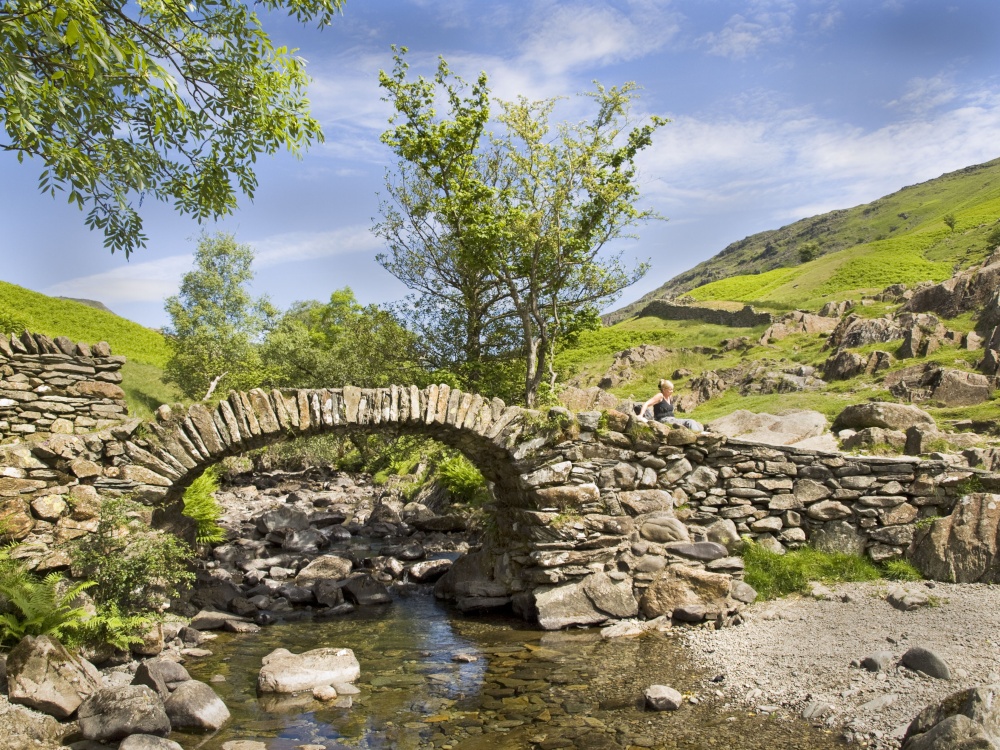
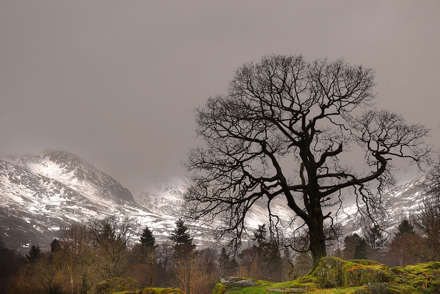
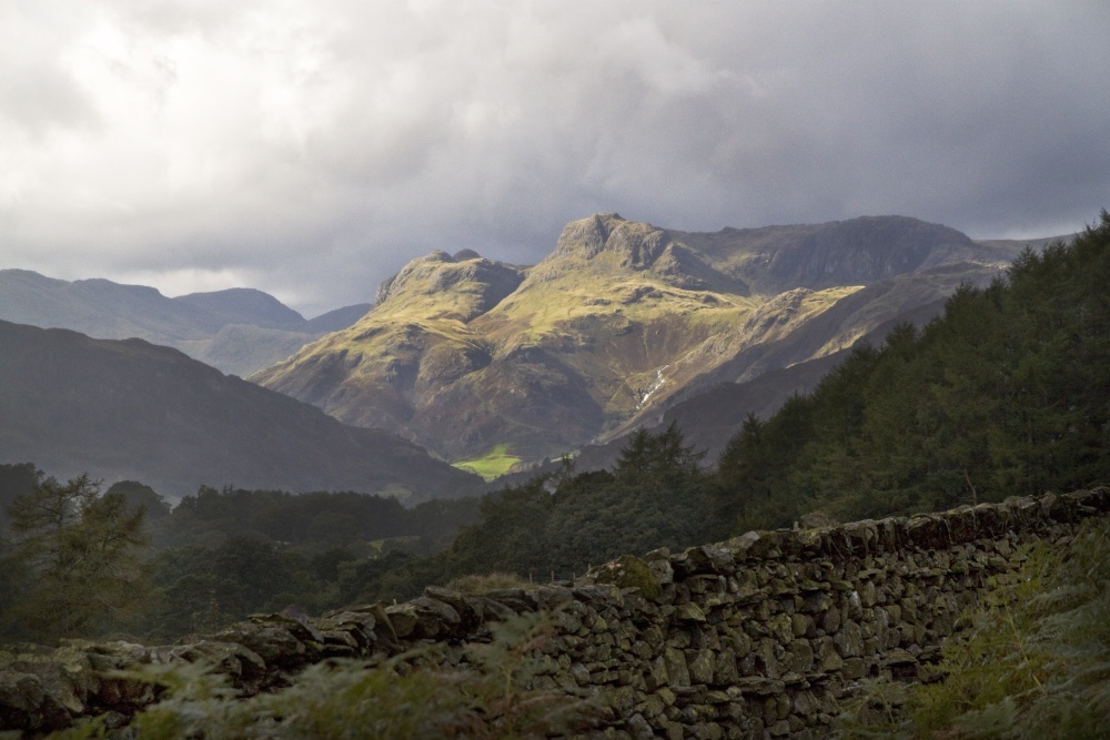
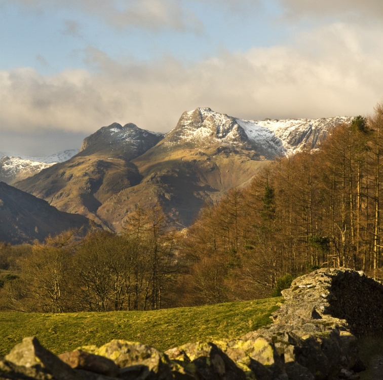
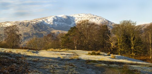
These famous pikes rise loftily above the village of Langdale, whilst below visitors can savour the wild and desolate beauty of.....
..
Follow PicturesOfEngland.com on social media and help share the beauty of England....